Aerial Photographs of Historic Texas Floods Reveal Dinosaur Tracks on Blanco River
- AmaTerra GIS Manager, Joel Butler
- Jun 16, 2015
- 3 min read
Updated: Nov 15, 2022

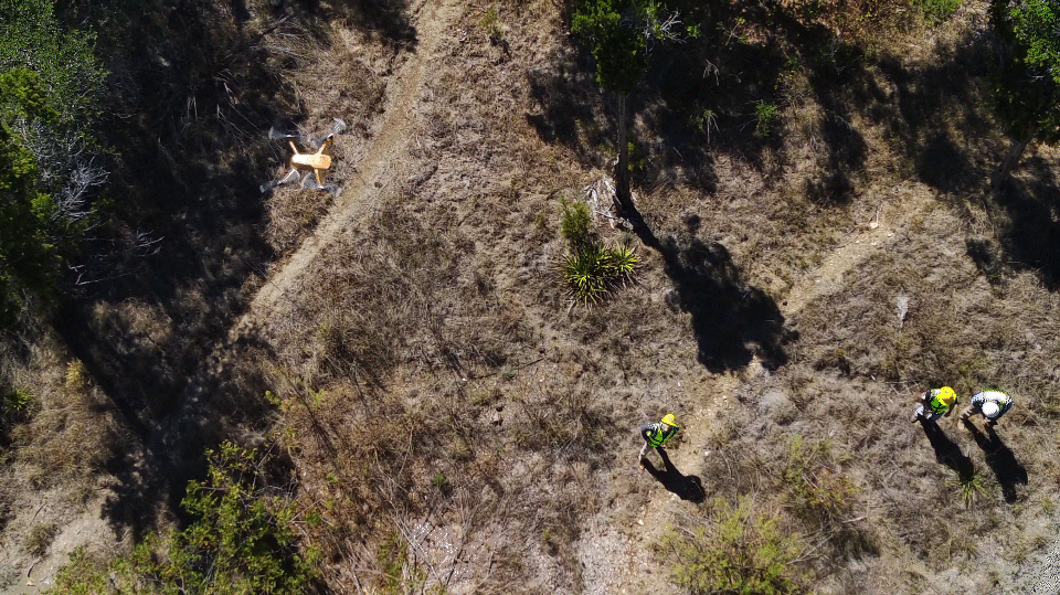
Following the catastrophic Memorial Day flooding on the Blanco River in Blanco, Comal, and Hays Counties, the USGS flew the length of the river taking hundreds of handheld geo-located oblique photographs along the way. These photographs, available at the Hazards Data Distribution System (HDDS) Explorer website, graphically tell the tale of historic destruction caused by the 500+ year flood event a few weeks ago. They also revealed tracks left around 110 million years ago.

While reviewing the photographs from a stretch of river above the City of Blanco, AmaTerra archeologist and Geographic Information Systems (GIS) Manager, Joel Butler noted a series of linear indentations in limestone bedrock out of alignment with the stream channel. It was apparent that these were sauropod (four-legged) dinosaur tracks which, although visible in recent Google, Bing, and TNRIS imagery, were much clearer and more readily identifiable in the USGS post-flood photographs. Although the track site is most likely well known, the two trackways farthest downstream were apparently uncovered by the flood event and may not have been previously documented.

With no set geographic reference to base estimates off of, oblique photographs can be difficult to measure from without some reference measure within the frames. In the photographs, a 2-door Jeep is seen driving along the bank. Measuring approximately 150-160 inches long, this vehicle (along with other features visible in the photograph) provides a decent scale for some basic analysis at the remote level.
The tracks are located within the Glen Rose geologic formation of Early Cretaceous age. Derived from limey mud laid down during a period of sea regressions and transgressions, this formation is well known for producing dinosaur track sites throughout Texas, most notably at Dinosaur Valley State Park on the Paluxy River near Glen Rose. Several other dinosaur track sites are known along this stretch of the Blanco River, many of which are visible on Google Earth, though this particular site seems to be the most extensive.
At least eight 40 to 65-foot-long trackways within a 270-foot stretch of river are visible in the photograph with three or more sets being scrambled together as animals walked either as a group or at different times in the same general pathway. Within these approximately 90 individual tracks are visible. All but one trackway were apparently created by peg-footed sauropods, while the remainder is smaller with the tracks closer together. This could be a youngster or a different species altogether but remote interpretation can only go so far before one would need to actually get out there and take a look!

Trackway patterns, though, in some instances clearly show front foot (manus) and rear foot (pes) examples. This, in turn, indicates that the animals were walking in a generally northward direction when they made the tracks.
The species of dinosaurs that made the majority tracks is speculative, but may have been Paluxysaurus jonesi, the species thought to be responsible for the Paluxy River sauropod tracks. The Blanco River tracks range in size from 24 to 40 inches across with 7.5 to 8.5-foot strides, similar to the Paluxy River sauropod trackways. With such a stride, the sauropod may have stood at a height of approximately seven feet at the hip/shoulder (see this article for more information on measuring sauropod footprints). Big, but definitely not one of the massive giants featured in the latest Jurassic World movie.
This analysis was purely a fun (and interesting!) exercise for us with no project bearing, but it does demonstrate the wealth of insights that can be derived from even the most basic remote sensing data.